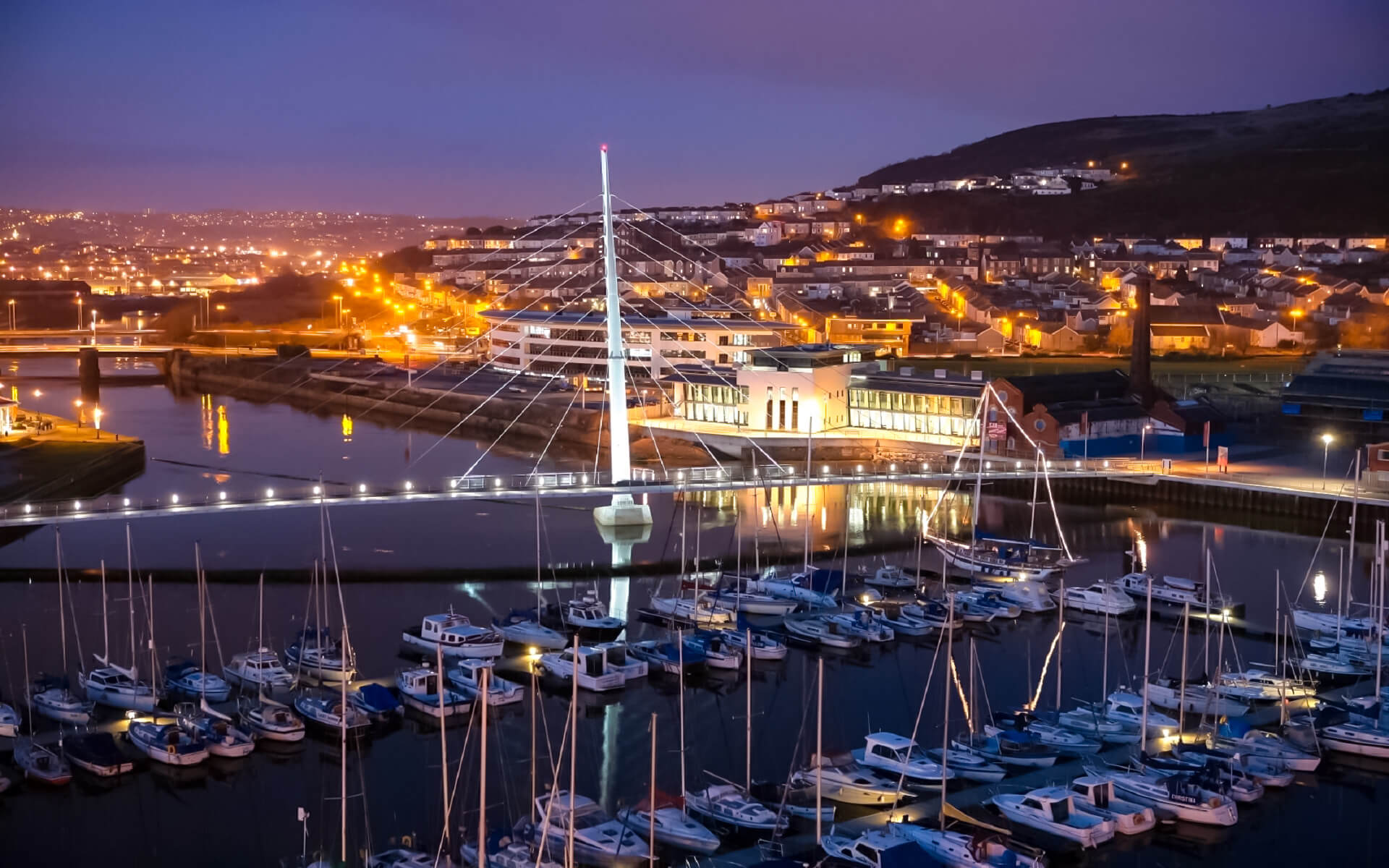
The “City and County of Swansea” local government region is bounded to the north by Carmarthenshire and to the east by Neath Port Talbot. Swansea is surrounded to the south by Swansea Bay and the Bristol Channel.
The local government area spans 378 square kilometers (146 square miles), or around 2% of Wales’ total area. It has a lot of open space as well as a core urban and suburban belt.
Swansea is broadly split into four geographical zones. The Lliw uplands, which are mostly open moorland and approach the slopes of the Black Mountain, lie to the north. The Gower Peninsula, with its pastoral environment scattered with little communities, lies to the west. The coastal strip of Swansea Bay is to the east. The urban and suburban zone stretches from Swansea city centre to the towns of Gorseinon and Pontarddulais, cutting across the middle from south-east to north-west.
Morriston, Sketty, and the city center are the most inhabited areas in Swansea. The main urbanised area extends from the city centre to the north, south, and west; along the coast of Swansea Bay to Mumbles; up the Swansea Valley past Landore and Morriston to Clydach; over Townhill to Cwmbwrla, Penlan, Treboeth, and Forestfach; through Uplands, Sketty, and Killay to Dunvant; and east of the river from St. Thomas to Bonymaen, Llansam A second urbanised region is centered on the triangle formed by Gowerton, Gorseinon, and Loughor, as well as the satellite villages of Penllergaer and Pontarddulais.
Swansea is surrounded by water on three sides: the Loughor Estuary, Swansea Bay, and the Bristol Channel. The Tawe, which runs through the city center, and the Loughor, which flows along the northern boundary with Carmarthenshire, are the two major rivers in the area.
The geology of the local authority region is complex, giving various sceneries. The Gower Peninsula was the first in the UK to be declared as an Area of Outstanding Natural Beauty (AONB). The whole Gower Peninsula is an AONB, with the exception of the urbanized region in the south-eastern corner. Swansea includes a number of urban and rural parklands. The area has been recognized on a regular basis in the Wales in Bloom awards.
The Gower Peninsula’s geology varies from Carboniferous Limestone cliffs along its southern border from Mumbles to Worm’s Head to the salt marshes and dune systems of the Loughor estuary to the north. The peninsula’s eastern, southern, and western shores are bordered with several sandy beaches, both large and tiny, separated by sheer cliffs. In the Swansea region, the South Wales Coalfield approaches the shore. This had a significant impact on the growth of Swansea and other surrounding communities such as Morriston. Large swaths of grassland are widespread in the inland region, which is overshadowed by sandstone heath hills like as the notable Cefn Bryn. The typical agricultural environment is characterized by a patchwork of fields with fences, stone-faced banks, and hedgerows. Valleys stretch across the peninsula, with dense deciduous forest.
Much of the local authority’s territory is hilly, with the majority of the upland being in the council ward of Mawr. High ground ranging up to 185 metres (607 ft) ranges over the central area, forming the hills of Kilvey, Townhill, and Llwynmawr, separating Swansea’s center from its northern suburbs. The backbone of the Gower Peninsula is Cefn Bryn, a ridge of high terrain. Rhossili Down, Hardings Down, and Llanmadoc Hill are land features that may reach heights of 193 metres (633 feet). Penlle’r Castell, on the northern boundary of Carmarthenshire, has the highest peak at 374 metres (1,227 ft).


