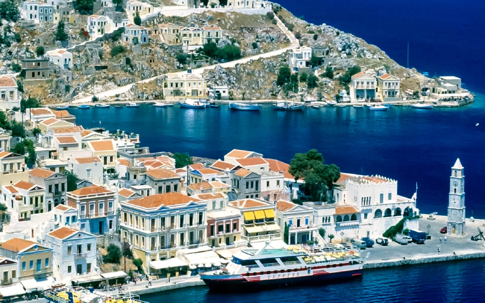
Rhodes is shaped like a spearhead, measuring 79.7 km (49.5 mi) long and 38 km (24 mi) broad, with a total area of around 1,400 square kilometers (541 sq mi) and a shoreline of about 220 km (137 mi). The primary bedrock is limestone. The city of Rhodes, as well as the historic and current commercial harbors, is situated in the northern extremity of the island. Diagoras International Airport (IATA code: RHO) is situated 14 kilometers (9 miles) southwest of the city in Paradisi. The city’s road network extends along the east and west beaches.
Outside of Rhodes City, the island is scattered with tiny towns and spa resorts, including Faliraki, Lindos, Kremasti, Haraki, Pefkos, Archangelos, Afantou, Ixia, Koskinou, Embona (Attavyros), Paradisi, and Trianta (Ialysos). Mineral-rich spring water (and occasionally sea water) is utilized to provide medical baths, and spa resorts provide a variety of health treatments.
Rhodes is located 363 kilometers (226 miles) east of the Greek peninsula and 18 kilometers (11 miles) south of Turkey’s southern coast.
Flora
The heart of the island is rugged, scarcely populated, and covered with pine (Pinus brutia) and cypress trees (Cupressus sempervirens). While the island’s coasts are rocky, it contains fertile ground where citrus fruit, wine grapes, vegetables, olives, and other crops are farmed.
Fauna
In 2005, the Rhodian population of fallow deer was shown to be genetically different, posing an urgent conservation risk. During the summer, tiger moths congregate at Petaloudes Valley (Greek meaning “Valley of the Butterflies”). Mount Attavyros, at 1,216 meters (3,990 feet), is the highest peak on the island.


