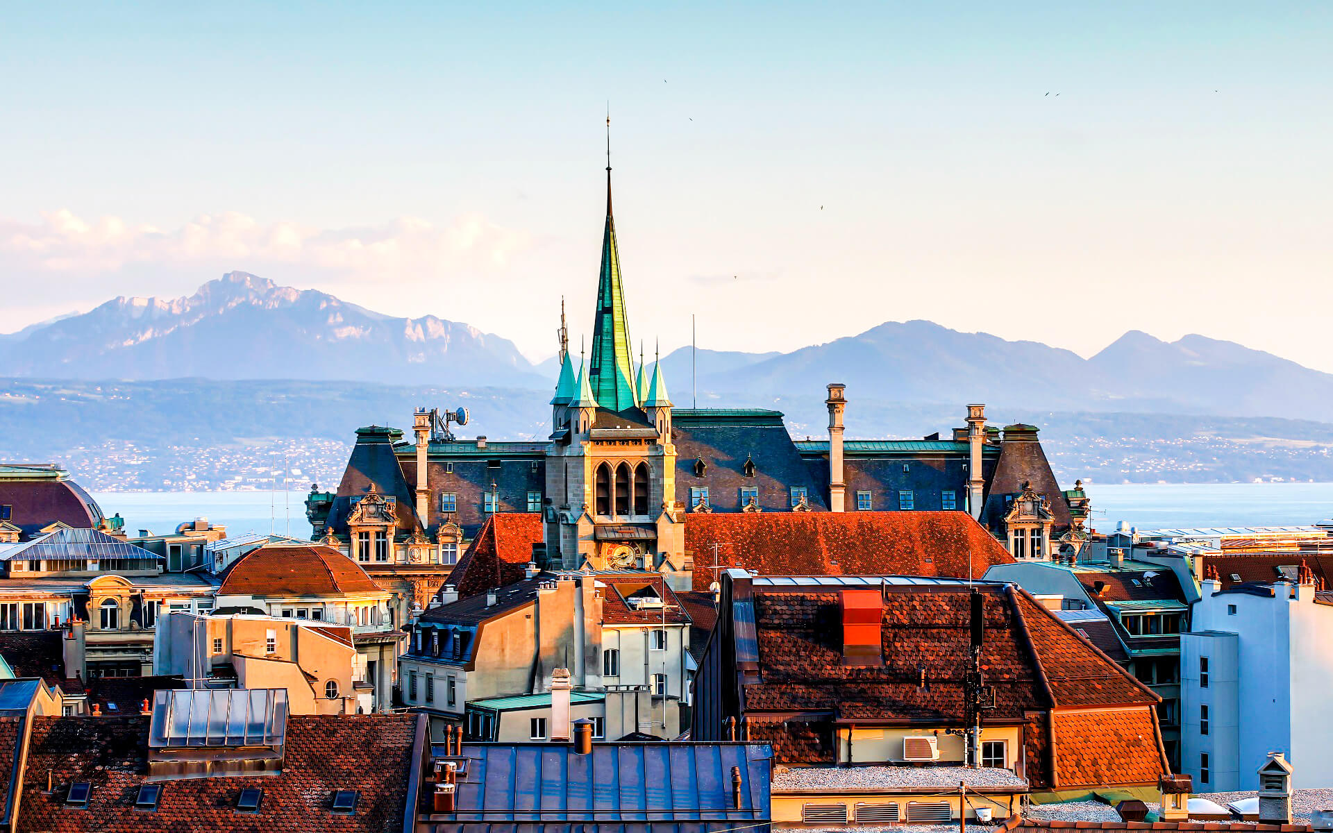
Lake Geneva (Lac Léman in French) is the most prominent geographical feature in the region around Lausanne. Lausanne is situated on the southern slope of the Swiss plateau, with a 500-metre (1,640-foot) elevation difference between the lakeshore at Ouchy and its northern boundary abutting Le Mont-sur-Lausanne and Épalinges. Lausanne has a stunning view of the lake and the Alps.
In addition to its usually southward-sloping form, the city center is the location of an old river, the Flon, which has been covered since the nineteenth century. The former river creates a canyon that runs through the city center south of the ancient city center, mainly following the line of the current Rue Centrale, with various bridges over the depression to link the nearby neighborhoods. Due to the significant elevation fluctuations, visitors need keep track of the plane of height they are on and where they wish to travel, or they will find themselves tens of meters below or above the street they are attempting to navigate. The term Flon is also used for the gorge’s metro station.
Vidy, Cour, Ouchy, Mornex, Chailly, La Sallaz, Vennes, Montblesson, Vers-chez-les-Blanc, Montheron, and Chalet-à-Gobet (871 m (2,858 ft)) are all part of the municipality, as is the exclave of Vernand.
Lausanne is situated at the crossroads of the vast wine-growing districts of Lavaux (to the east) and la Côte (to the west) (to the west).
Lausanne has a land area of 41.38–41.33 square kilometers (15.98–15.96 square miles) as of 2009. (depending on calculation method). 6.64 km2 (2.56 sq mi) or 16.0 percent of this land is used for agriculture, while 16.18 km2 (6.25 sq mi) or 39.1 percent is forested. The remaining land area is divided as follows: 18.45 km2 (7.12 sq mi) or 44.6 percent is settled (buildings or roads), 0.05 km2 (12 acres) or 0.1 percent is rivers or lakes, and 0.01 km2 (2.5 acres) or 0.0 percent is unproductive ground.
Industrial buildings accounted for 1.6 percent of the total built-up area, while housing and structures accounted for 21.6 percent and transportation infrastructure accounted for 12.5 percent. Power and water infrastructure, as well as other special developed areas, accounted for 1.4 percent of the land, with parks, green belts, and sports fields accounting for the remaining 7.5 percent. Heavy woods cover the whole wooded land region. Crops account for 11.1 percent of agricultural land, while pastures account for 4.2 percent. The municipality’s water supply is entirely comprised of lakes.
The municipality was a component of the old Lausanne District until it was disbanded on August 31, 2006, when it became the seat of the new Lausanne District.


