
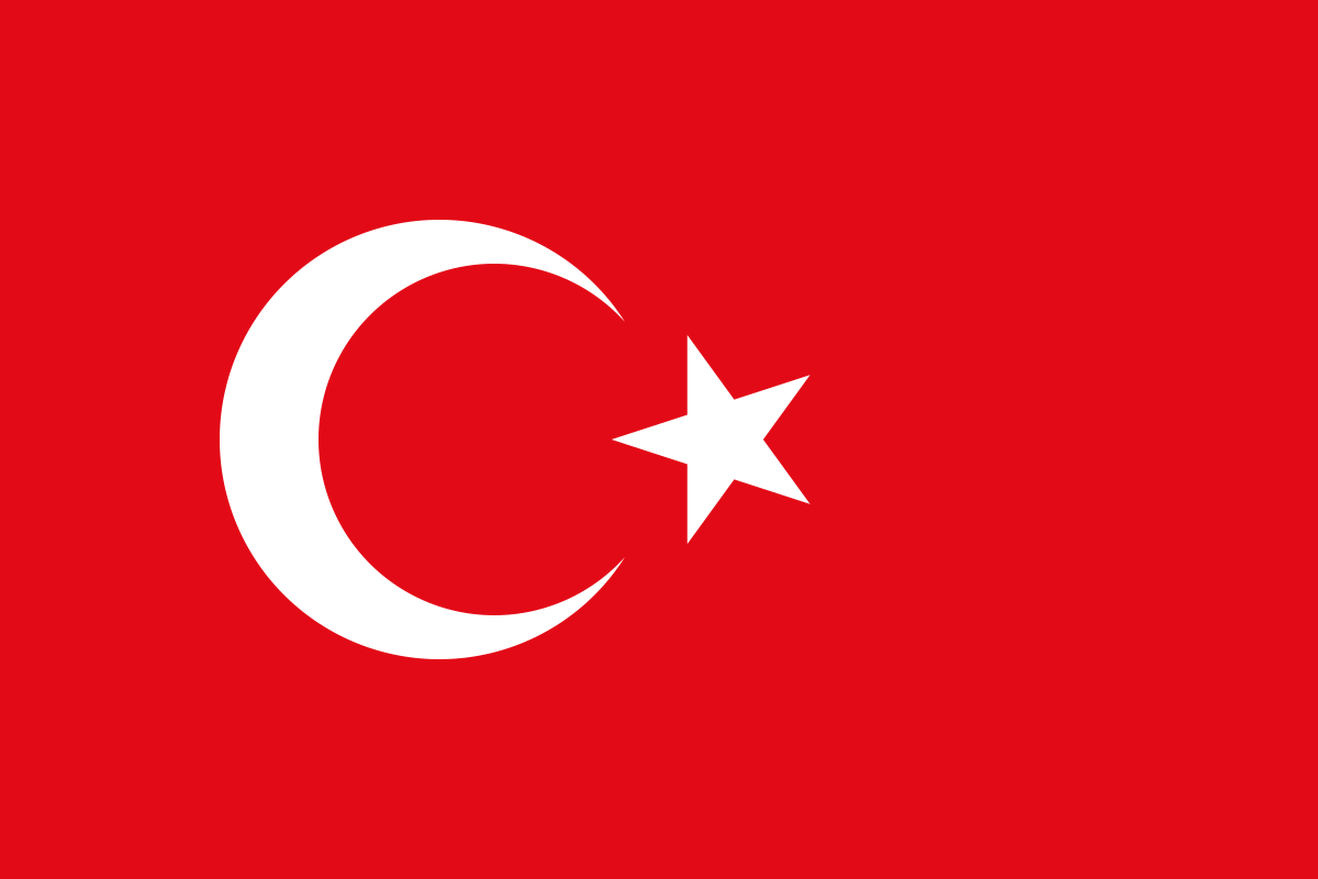
Çalış Tepesi is the wooded hill and panoramic viewpoint rising between Kemer and Kiriş, immediately south of Kemer town. It is recognisable from below by the large Turkish flag and communication or observation structures near the summit. The hill is popular with walkers because it gives simultaneous views over Kemer, Kiriş, Çamyuva, the Mediterranean and the lower Beydağları slopes. It is not a formal ticketed attraction with a visitor centre. The experience is the ascent itself, whether on foot or partly by rough service road, followed by the coastal panorama from around 300 metres above sea level.
Kemer Municipality has promoted Çalış Tepesi as a local walking route from the town. Its municipal publication describes a walk of roughly four kilometres through pine and strawberry-tree forest to a summit around 320 metres high. More recent route databases give slightly different distances because hikers start from different points in Kemer or Kiriş. Outdooractive, for example, describes an 8.6-kilometre return route with about 311 metres of ascent. These variations are not contradictions; there is no single gated trailhead defining one official loop.
The walk is moderate rather than technical, but summer conditions can make it demanding. Much of the ascent follows forest road or broad trail, yet sustained climbing, heat and loose surfaces require reasonable fitness. A June 2026 visitor report says the upper vehicle road remains rough, and previous reports also describe stabilised or unpaved sections. Drivers should therefore not assume an ordinary low-clearance car can comfortably reach every upper point.
The landscape is the main reward. From the summit area, Kemer lies below to the north-west, Kiriş and Çamyuva stretch along the coast to the south, and the Taurus/Beydağları form the mountain backdrop. The view is especially effective in late afternoon or around sunset, but anyone walking down after sunset needs a proper light. Forest routes become dark quickly, and relying on a phone flashlight is not sensible.
Çalış Tepesi also has archaeological interest. The Antalya Cultural Heritage Inventory records Çalış Tepe Castle on the hill as a protected first-degree archaeological site with Hellenistic and Roman-period associations. Very little architectural structure remains visible, and the site should not be oversold as a castle ruin. The inventory says the summit area is now associated with a forest observation function. The important point is that the hill has both landscape and historical value, even though scenery dominates the modern visit.
Current 2026 tourism information still treats Çalış Tepesi as an active Kemer walking destination. Life Kemer’s destination site describes the hill near Kiriş as a nature-walking route with views over the surrounding resort area, and a June 2026 Tripadvisor report confirms current public use. There is no reliable gate or staffed opening schedule. The sidebar therefore uses “outdoor hill/trail — no single gate schedule” rather than the old 24-hour wording.
For safety, daylight hiking is the sensible default. The forest is dry in summer and fire risk can be severe, so open flames and improvised barbecues should be avoided. Carry water because there is no guarantee of a functioning café or tap at the exact summit point. Closed shoes are better than beach sandals, and sun protection remains important even when sections of the climb pass under pine cover.
Most walkers need two to three hours for a comfortable return hike from Kemer, depending on start point and stops. Fit visitors may be faster, while photographers can spend much longer at viewpoints. Early morning is cooler; sunset offers better light but creates the challenge of descending in fading daylight.
Accessibility is limited. A rough vehicle road may bring some visitors higher up the hill, but there is no documented step-free summit facility and the final terrain remains uneven. Visitors with mobility needs should treat lower viewpoints or a vehicle-accessible section as the realistic goal rather than assuming the flag summit is fully reachable.
Çalış Tepesi is best for travellers who want exercise and a broad view over Kemer rather than a serviced attraction. Start early enough, carry water, respect archaeological and forest restrictions and avoid driving beyond the capability of the vehicle. The hill’s simplicity is part of its appeal: a forest climb, a high coastal viewpoint and a clear sense of how Kemer sits between sea and mountains.
The viewpoint is also exposed to wind even when the forested climb feels sheltered. At the top, loose hats, light clothing and drones can become difficult to manage, and drone use may be restricted by local aviation, security or protected-area rules. Visitors should not assume that an open summit means unrestricted flying. For ordinary photography, the safest approach is much simpler: stay on stable ground, avoid the edge around observation structures and give yourself enough daylight to descend comfortably.
There are no dependable staffed facilities at the summit, so hikers should use toilets and buy drinks before leaving Kemer or Kiriş rather than planning around a café that may not be operating.


Community Ratings & Reviews
No traveller ratings yet
Traveller reviews
0 published reviews
No reviews yet. You can be the first to share a helpful experience.